Winzenberg to Pinnacle 21/12/25
With an empty weekend on the schedule, and with no other thought than the short drive to
the start and finish of a short loop walk, I proposed a route that had looked fairly obvious on
the map.
The plan was to climb up Winzenburg hill, behind the Holdsworth campground, and to cross
the saddle over to the Pinnacle track. Having spoken to some people there had been some
suggestion that the route had been completed maybe 15 years earlier, no real information
existed as to whether there might or might not be a footpad to follow. The LINZ topo
mapping showed an old fenceline as a guide to a route down to the saddle, but otherwise it
was likely to be a navigational trip between the two tracks.
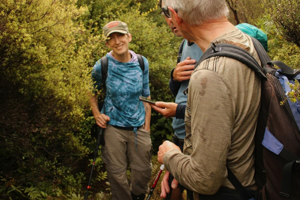
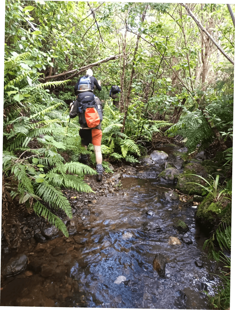
The party was comprised of Four, leaving the car park at Holdsworth at around 09.15. We
found the lower end of the Winzenburg track to have alot of new undergrowth over it,
including quite alot of brambles, which along with the previous few days of wet weather
meant we were all quite damp from the waist down by the time we reached the dam.
We started up the hill on the short but relatively steep climb, stopping occasionally for a
breather . We passed a couple of spots where we could see across to the Holdsworth
lookout and to the pinnacle ridge, and the topography of the the small valley below us,
which we planned to cross by the saddle. Holdsworth itself was just covered in some cloud,
and Powell hut made a few appearances but was generally hidden by it.
By the time we made it to the start of the planned turn off from the hill track, we had seen
how dense the vegetation was likely to be and the descent that was involved, (around
160m), and some of the group felt that it might be beyond the capabilities of a short day
trip.
It was agreed on after some discussion with the other members that a trip to the top of
Winzenburg (one whom had never been there before), with lunch and a descent would be
sufficient for the day. I was pleased that the members of the party felt able emough to
speak up and give thier opinion, rather than “carry on regardless”. We decided that this
would be the trip for the day. While the rest of the Party travelled on up to the top of the
hill, I had a quick recce for the “fenceline” shown on the map, but could find no current
evidence of the fence, posts or the old route. I then joined the rest of the party at the top of
the hill, for views into the Waingawa valley.
We then returned part way down the descent, to shelter from the cool breeze, had lunch
and then returned back to the campground, having been out for 4 hours.
Thanks goes to the rest of the party, who dampened my ambitions, but put some reality into
the day, as the trip was going to be alot longer and tougher than I had originally imagined
from the comfort of the sofa!
Party – Nigel, Liz, Josh, Conrad (Leader and scribe)